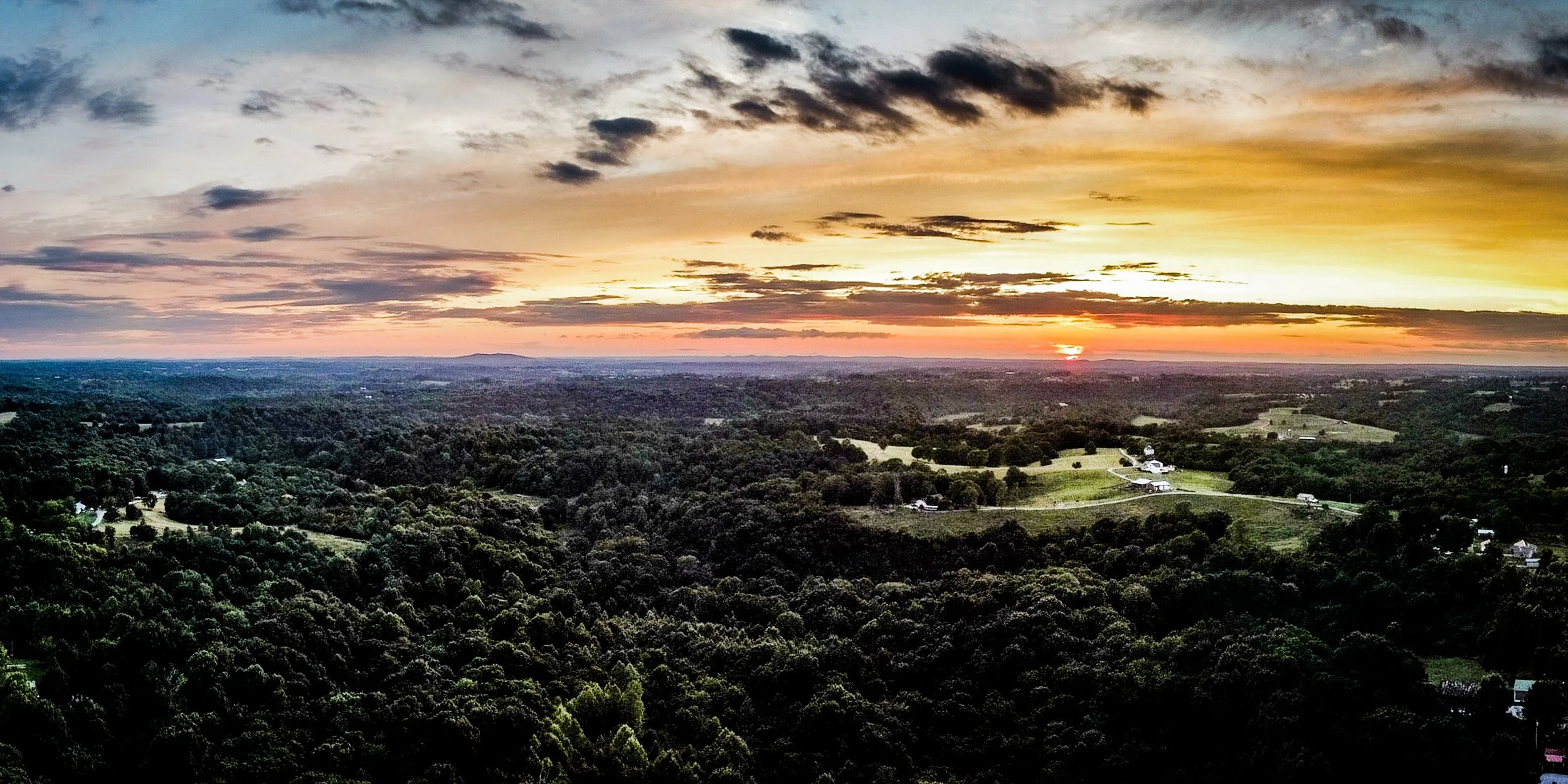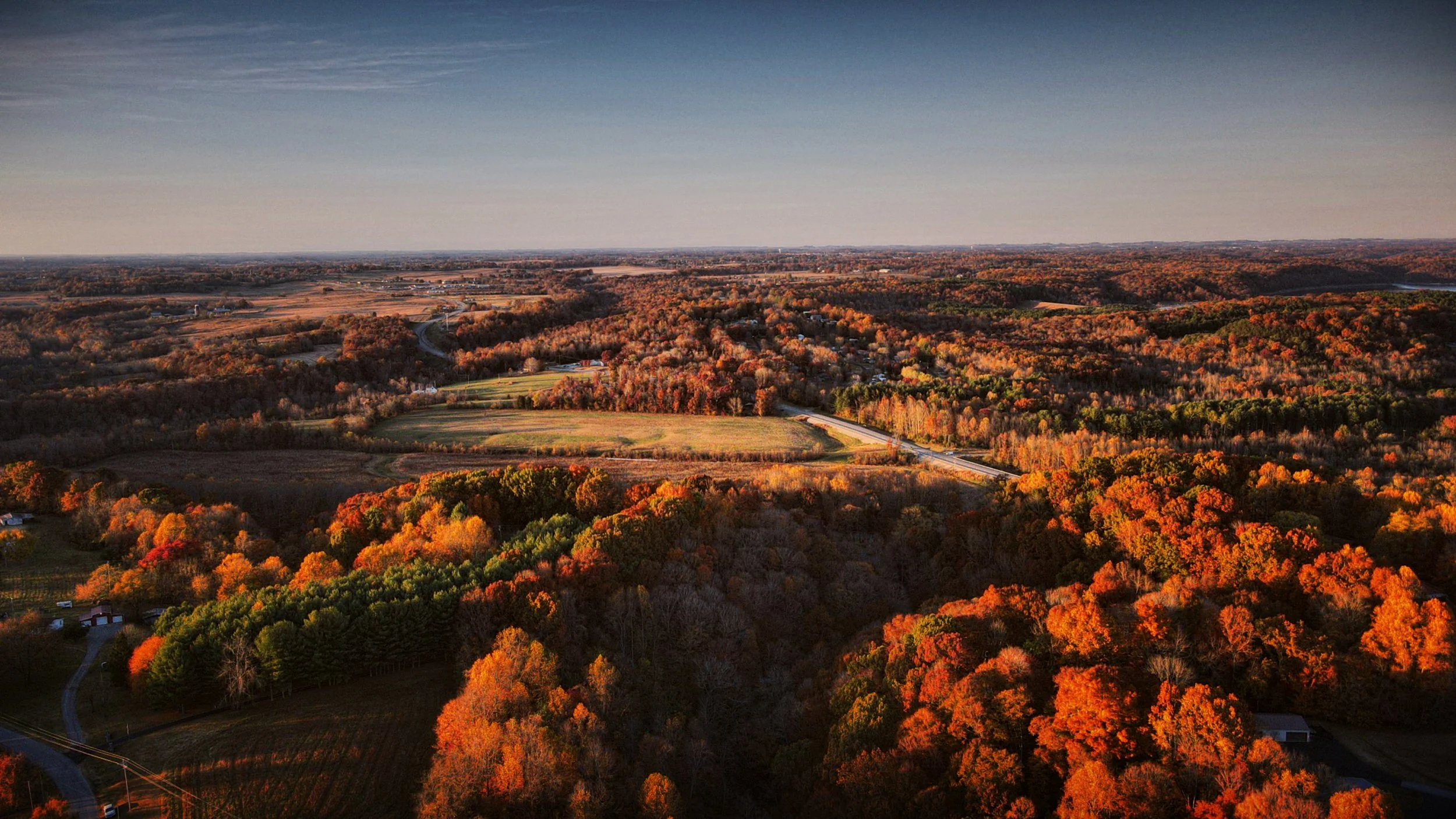
Aerial Imaging and Recovery Services
Explore our range of services designed to help you move forward with confidence, wherever you're headed next.
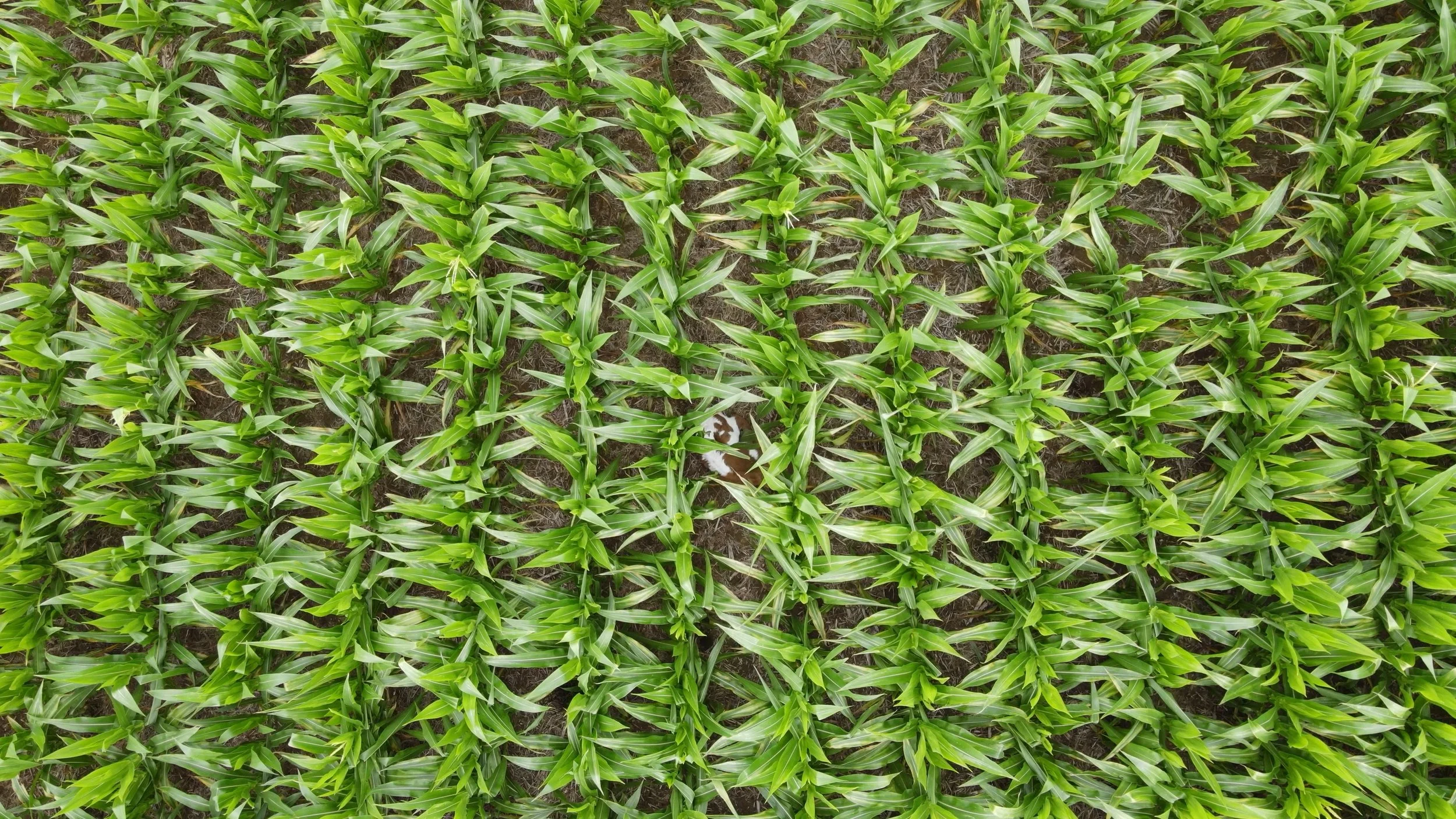
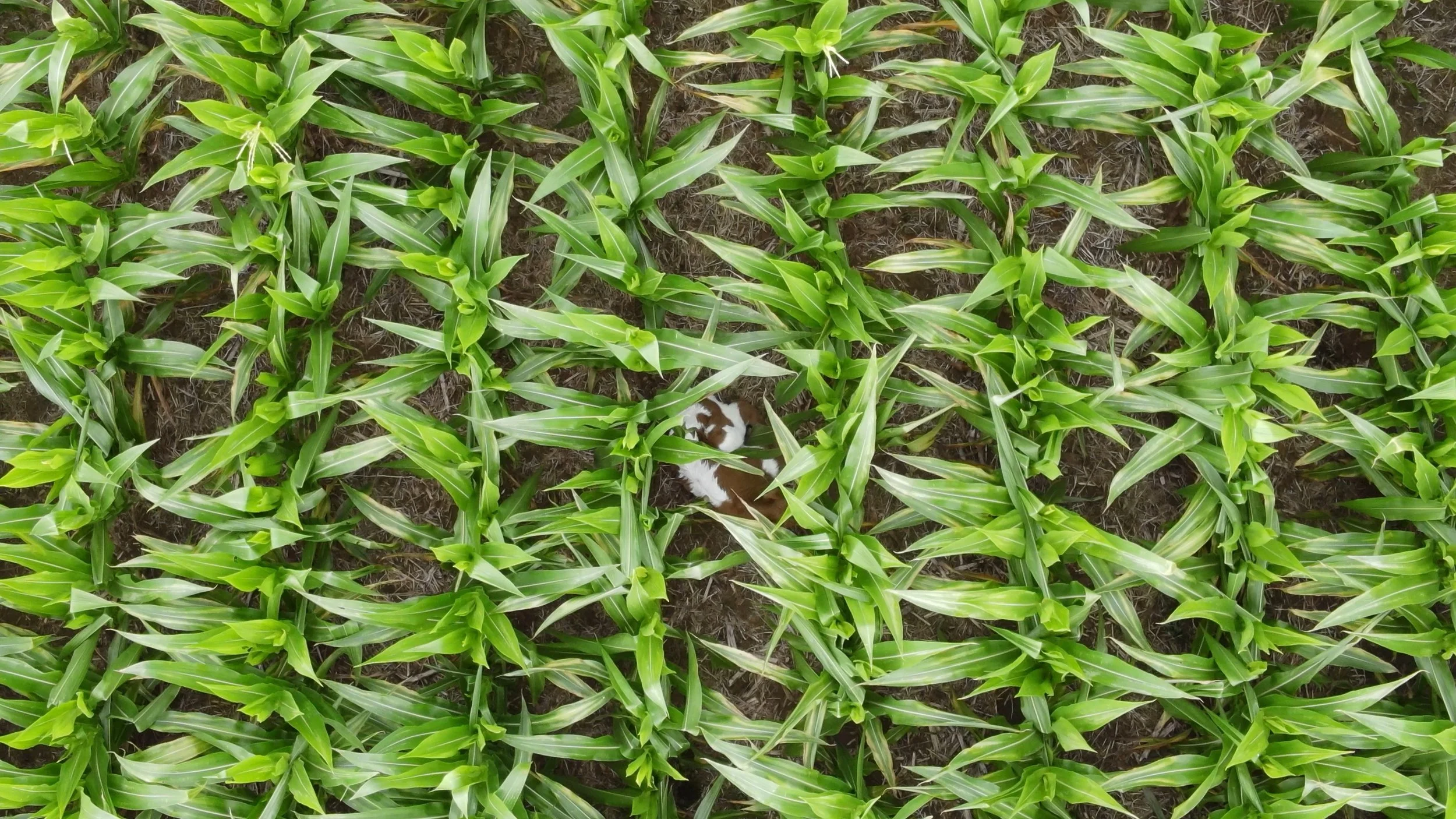
Can you spot the calf?
What We Offer
We offer a range of services to meet the needs of every client. Many of the situations we encounter are highly specific and require a custom quote for the project. Do not hesitate to call, and we will work to help create a successful outcome with a unique sky-high perspective!
-
Choice of services ranging from simple image capture to commercial videos. Prices range from $150 for a standard 15 raw image captures to $500 or more for a complete commercial, ready for publication, or wedding services.
Perfect for: Real-Estate Services, Weddings, Business Media, and much more!
-
These services are offered to those in need, whether for a missing person, animal recovery, or lost items. Most of these events are in need of immediate response, and our flight crews are ready to go when the need arises.
-
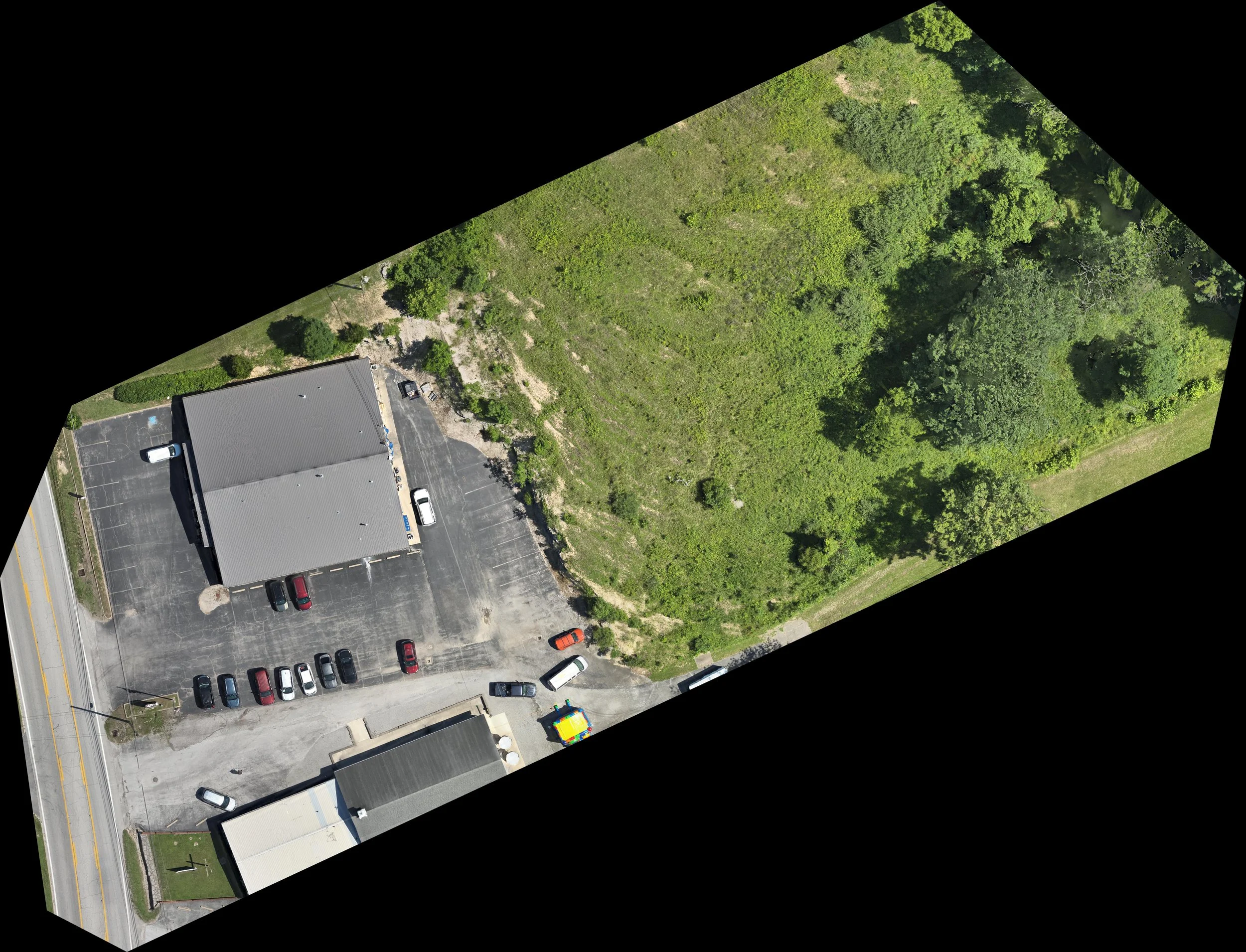
Whether you need a map for your property, monitoring agricultural acreage, or need to display a plot for real-estate purposes, a 2D representation of your land can assist. These take time and are more intensive than basic imaging, but can greatly improve your needs by presenting you with a complete map.
-
This is the most intricate of our services offered. Our crew will produce a complete 3D rendering of the designated project to assist with your display needs.
-
Using our hi-def cameras, we will fly to your needs to locate and capture any project. Standing side-by-side, you will be able to monitor and see what we see via our display screen to help identify needed areas.
Our pilots are working hard to improve their capabilities. Enrolled courses include tower, construction, roof, and solar panel inspections.
-
Over a 48 hour period we will fly the identified property three times (Morning, Noon, Dusk) and monitor amounts and types of wildlife on the property. This will allow us to present our clients with a chart marking migration, percentages, and unique sights that the property provides.
-
Every hunter knows the pain of the one that got away after a clean shot. Let us help via our thermal services. The sooner the call comes in, the better the chances of recovery!
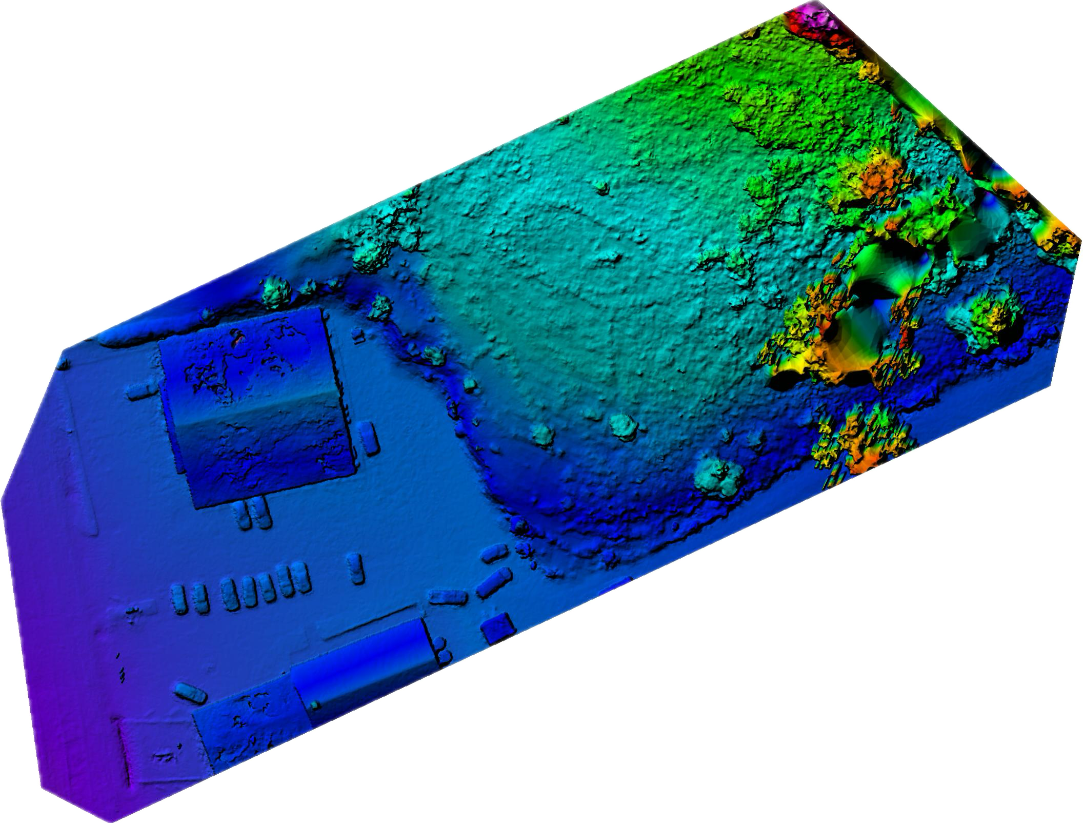
Sample DEM Colorized Map Indicating Elevation.
Let’s Work TogetherIf you're interested in working with us, complete the form with a few details about your project. We'll review your message and get back to you within 48 hours.
FOR URGENT CALLS: (270) 260-8517
3D Modeling Preview - Feel free to move the model around
There is more to come soon!